Location · Commute · Access
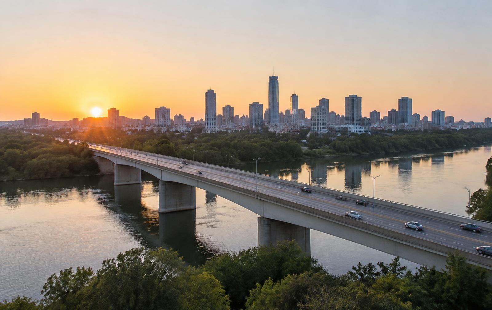
Twelve miles, one interstate, and a river in between.
Belmont's entire value proposition rests on a short, unusually reliable commute. Here is how it actually behaves — by corridor, by bridge, by time of day.
The short version
The best Charlotte commute nobody counts as Charlotte.
From downtown Belmont to the center of Uptown Charlotte is about 12 miles. In free-flow conditions that is a fifteen-minute drive; in a normal weekday peak it runs closer to twenty-five. The route is almost entirely interstate — Exit 26 or Exit 27 to I-85 east, across the Catawba, past the airport interchange, into the Brookshire or I-277 loop.
What makes it hold up is direction. Belmont approaches Charlotte from the west, on the same side of the city as Charlotte Douglas International Airport, so the airport run is 15–20 minutes and never requires crossing the city. Compare that with a south-Charlotte or Lake Norman commuter fighting I-77.
The constraint is the crossings. Only a handful of bridges span the Catawba and the South Fork here, and a single incident on the I-85 bridge reroutes everyone onto NC-7 or NC-273. Locals learn the alternates in their first month.
01
The corridors, one at a time
I-85
Exits 26 & 27
The spine. Exit 27 (Belmont–Mt. Holly Road) serves downtown and the Abbey; Exit 26 (NC-273 / Park Street) serves the south side and the New Hope corridor. East to Charlotte, west to Gastonia and eventually Spartanburg.
NC-273 (Park Street / South Point Road)
North–south
The in-town artery: north to Mount Holly, south past South Point High School toward the lake. Most daily errands happen on it, and most in-town traffic friction happens on it too.
South New Hope Road (NC-273 spur)
To the garden
Runs south toward the Daniel Stowe Conservancy and the newer subdivisions. Two lanes for much of it, and the reason growth-corridor commutes feel longer than the map suggests.
Wilkinson Boulevard (US-29/74)
The old road
The pre-interstate route into Charlotte, paralleling I-85 to the south. Slower but signal-managed — the reliable fallback when the interstate is stopped.
NC-7 / Catawba Street
Local alternate
East out of downtown toward the river and the Mount Holly–Charlotte crossings. Scenic, residential, and jammed the moment I-85 closes.
02
Every drive time worth knowing
These are typical door-to-door times in ordinary weekday conditions, not best-case 3 a.m. numbers. Treat them as planning figures and add fifteen minutes to anything involving the airport on a Monday morning.
Uptown Charlotte
15–25 min
About 12 miles east on I-85.
Charlotte Douglas International Airport
15–20 min
I-85 to Billy Graham Parkway.
Gastonia
18 min
County seat, courthouse, and CaroMont's main campus.
McAdenville
8 min
Christmas Town USA.
U.S. National Whitewater Center
12 min
Across the Catawba in Charlotte.
Daniel Stowe Conservancy
12 min
South on New Hope Road toward the lake.
Mount Holly
12 min
River town just north.
Lake Norman (Cornelius)
35 min
North on I-485 and I-77.
03
Transit, park-and-ride, and the airport question
Belmont is outside the Charlotte Area Transit System's rail network — the Blue Line light rail does not cross the Catawba, and there is no commuter rail on the old Piedmont & Northern alignment despite a century of proposals. Regional express bus service to Gaston County has come and gone; check current CATS and Gastonia transit schedules rather than trusting an older article.
In practice, Belmont is a car town with an unusually short car trip. The airport advantage is real and worth quantifying if you travel: Belmont to the terminal curb is routinely faster than from Ballantyne, Davidson, or Matthews, and long-term parking is on your side of the city.
04
See it on the map
Downtown
Downtown Belmont & Stowe Park
Center of downtown Belmont
The walkable Main Street core — Stowe Park, the 1915 depot, restaurants, coffee, and the Chronicle District.
Browse 21 places
Questions & Answers
Commuting from Belmont — quick answers
Direct answers to what readers most often ask about this section of the guide. Each answer cites the primary source it rests on.
All Belmont questions →How long is the drive from Belmont to Uptown Charlotte?
+
Typically fifteen to twenty-five minutes for about twelve miles on I-85 east, depending on the hour and on conditions at the Catawba River crossing. Off-peak runs are frequently under twenty minutes.
Source: NC Department of Transportation — projects and travel information
Does Belmont have public transportation to Charlotte?
+
There is no passenger rail and no light rail across the river, so Belmont is a car-dependent commute. Confirm current regional bus service directly with the transit provider rather than assuming coverage.
Source: NC Department of Transportation — projects and travel information
What highways serve Belmont NC?
+
I-85 runs along the north side of town with several exits, US-74 (Wilkinson Boulevard) crosses to the south, and NC-273 runs through town as Main Street toward Mount Holly and south toward the lake.
Source: NC Department of Transportation — projects and travel information
How far is Belmont from Lake Norman and the mountains?
+
Lake Norman's Cornelius side is roughly thirty-five minutes north via I-485 and I-77. The Blue Ridge escarpment around Boone or Asheville runs about two to three hours northwest on I-40 or US-321.
Source: NC Department of Transportation — projects and travel information
Topic Cluster
Belmont Background & Answers
How the town was made, where it sits, and the questions newcomers ask most.
The Belmont Guide — Belmont Background & Answers →Our Sources
How this page was researched
Drive times are typical weekday figures verified against NCDOT route data and mapping services; they are planning estimates, not guarantees. Transit service changes — confirm current routes with the operating agency.
Read our full citation methodology and editorial standards- 01Road projects, bridges, and travel information
NC Department of Transportation
I-85 and river-crossing conditions, projects, and drive times.
- 02Charlotte Douglas International Airport
City of Charlotte
Airport proximity, terminals, and nonstop service.
- 03City of Belmont — services, planning, and public records
City of Belmont, North Carolina
Municipal boundaries, utilities, planning, and downtown programs.
- 04Gaston County government services
Gaston County, North Carolina
County services, inspections, and administrative records.
- 05QuickFacts and American Community Survey — Belmont, NC
U.S. Census Bureau
Population, household, and housing characteristics.
Figures such as pricing, assessments, and school assignment change over time. Always confirm current details directly with the source before making a decision.
Where Is Belmont, NC?
Orientation: the river, the county line, and the twelve miles to uptown.
Continue →Moving to Belmont NC
Taxes, utilities, healthcare, commutes, and a relocation timeline.
Continue →Belmont NC Real Estate
Price bands, inventory, waterfront premiums, and how 28012 actually trades.
Continue →Things to Do in Belmont NC
A weekend's worth of river, garden, Main Street, and nearby Charlotte.
Continue →