The water · Lake Wylie · Catawba River
Thirteen thousand acres of Catawba on the edge of town.
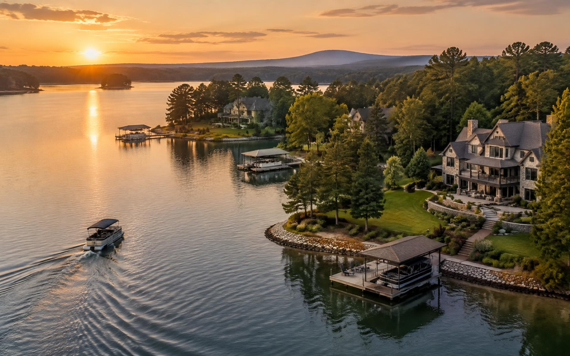
Lake Wylie wraps Belmont's southern end and the Catawba River runs down its eastern side. Together they set the ceiling on local real estate and most of the weekend calendar.
The short version
One river, two names, and the reason people move here.
Lake Wylie is a Duke Energy reservoir on the Catawba River, shared by North Carolina and South Carolina, covering roughly 13,400 acres with something on the order of 325 miles of shoreline. Belmont holds a meaningful stretch of the North Carolina side. North of the lake, the same river runs free as the Catawba, forming the Gaston–Mecklenburg county line and giving Belmont a riverfront park with a view of the Charlotte skyline.
For residents, that means two different water experiences from one address: big-water boating, tubing, and sunset cruising on the lake; and flatwater paddling, fishing, and riverside walking on the Catawba. Add the U.S. National Whitewater Center twelve minutes east, and Belmont has more accessible water recreation than almost any comparable Charlotte-area town.
For buyers, it means the most important diligence in Belmont is not the house. It is the shoreline: what class it is, whether a dock exists or can exist, who permits it, and what the water does at full pond and at drawdown.
01
Where the public can actually get on the water
Kevin Loftin Riverfront Park
East Catawba Street
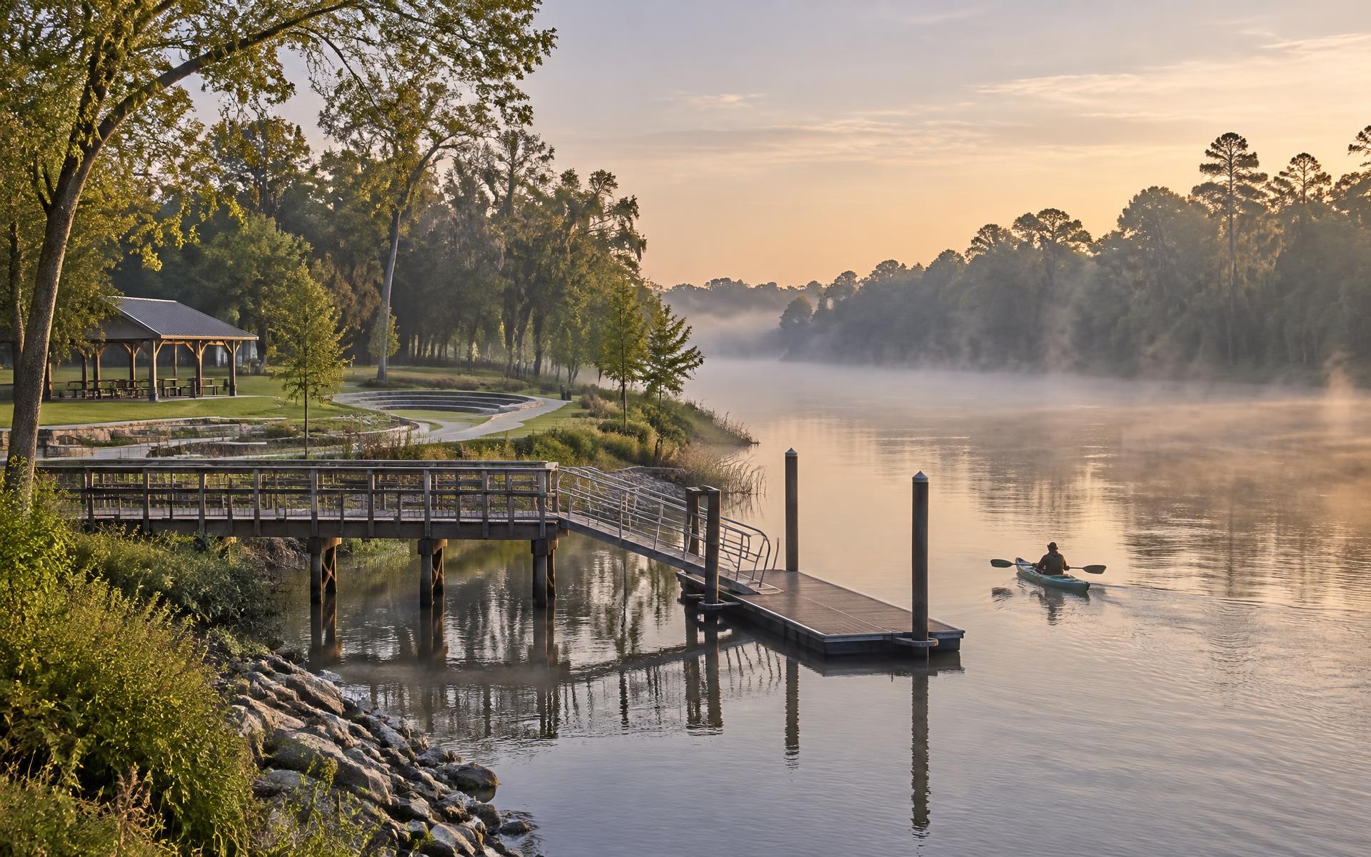
Belmont's own river access — a kayak and canoe launch, a floating dock, a fishing pier, an amphitheater, and ten acres of Catawba frontage minutes from Main Street.
Gaston County public ramps
Trailered boats
County and state access areas around the Lake Wylie shoreline handle trailered launches. Availability, fees, and hours vary — confirm with Gaston County Parks & Recreation before hauling.
Seven Oaks Preserve Trail
Shoreline on foot
2.8 miles one way along the Lake Wylie shore across 78 conserved acres, connecting into the Conservancy's trail system.
U.S. National Whitewater Center
12 minutes east
Across the Catawba in Charlotte: whitewater rafting, flatwater paddling, climbing, and miles of trail on a day pass.
Community marinas & slips
Private
Gated communities including Reflection Pointe and McLean offer slips, ramps, or beach areas to residents. Rights are community-specific — verify in writing, not from a brochure.
02
Docks, shoreline classification, and Duke Energy
Duke Energy manages the Lake Wylie shoreline under its federal license, and the water itself is not owned by the adjoining property owner. Any private dock, pier, boat lift, shoreline stabilization, tree removal, or dredging within the project boundary requires Duke authorization, and the shoreline is classified — some segments permit private facilities, others do not, regardless of how attractive the lot is.
This is the single most expensive assumption a Belmont buyer can make. "Waterfront" in a listing may mean deep-water frontage with a permitted covered dock; it may mean a view across a cove with no dock rights at all. The two are not remotely the same asset, and the gap between them is routinely hundreds of thousands of dollars.
Before you go under contract on anything touching the water, get the shoreline classification, the existing permit and its transferability, the as-built dock documentation, and confirmation of what could be added. Then read the community covenants, which can be stricter than Duke's rules.
Shoreline classification
Determines whether a private facility is even allowable on that specific frontage. Obtain it from Duke Energy in writing.
Permit transferability
An existing dock's authorization does not automatically follow the deed in every situation. Confirm the transfer process.
Full pond & drawdown
Water levels fluctuate with operations and drought. Look at what the frontage becomes at low water, not just at full pond.
HOA overlay
Community covenants can restrict dock size, style, lighting, and watercraft storage beyond what Duke permits.
03
Water quality and the river's advocates
The Catawba is a working river: drinking-water supply, hydroelectric generation, industrial history, and heavy recreational use on the same water. The Catawba Riverkeeper Foundation monitors and publishes bacteria and water quality data through the swim season, which is the sensible place to check before a holiday weekend on the lake rather than after.
Practically: swimming conditions vary by location and rainfall, and heavy storms raise bacteria levels across the basin for a period afterward. Long-time residents simply avoid the water for a few days after a big rain.
Local expertise
Waterfront diligence is a specialty, not a checkbox.
Shoreline classification, dock permits, cove depth, and community slip rights decide value on Lake Wylie long before finishes do. For buyers and sellers working the Belmont side of the water, the luxury practice below handles this segment daily.
Luxury real estate
Peters & Associates
Advertising disclosure. This is a paid or affiliated relationship: the firm above is affiliated with or compensates the publisher of this independent guide, and contacting it may result in a commercial engagement. It does not buy editorial placement. Full disclosure.
Questions & Answers
Lake Wylie & the Catawba — quick answers
Direct answers to what readers most often ask about this section of the guide. Each answer cites the primary source it rests on.
All Belmont questions →Is Lake Wylie in Belmont NC?
+
Belmont sits on the lake's northern end. Lake Wylie is a Catawba River reservoir spanning the North Carolina–South Carolina line, and Belmont's southern shoreline is where its waterfront communities, docks, and trail frontage are.
Source: Duke Energy — Catawba-Wateree lake services and shoreline management
Can you put a dock on a Lake Wylie lot?
+
Only where the shoreline classification and the lake manager's rules allow it. Duke Energy administers shoreline management and dock permitting for the Catawba-Wateree lakes, so confirm the classification and any existing permit for a specific parcel before assuming a dock is possible.
Where can the public get on the water in Belmont?
+
Kevin Loftin Riverfront Park on East Catawba Street has a kayak launch, dock, and fishing pier on the Catawba, and Gaston County maintains additional access points. Marina slip availability changes seasonally.
Source: Duke Energy — Catawba-Wateree lake services and shoreline management
Is the water clean enough to swim and fish?
+
Lake Wylie is used heavily for both, and the Catawba Riverkeeper Foundation publishes water-quality monitoring and any advisories for the basin. Check current results before swimming after heavy rain.
Source: Catawba Riverkeeper Foundation
Topic Cluster
Belmont Landmarks & Waterfront
Downtown, the Abbey, the Conservancy, the river, and the trails.
The Belmont Guide — Belmont Landmarks & Waterfront →Our Sources
How this page was researched
Shoreline rules, permit processes, and lake levels are governed by Duke Energy's federal license and change over time. Always verify dock and shoreline questions directly with Duke Energy for the specific parcel.
Read our full citation methodology and editorial standards- 01Catawba-Wateree lake levels and shoreline management
Duke Energy
Lake Wylie levels, dock permitting, and shoreline rules.
- 02Catawba River water quality and stewardship
Catawba Riverkeeper Foundation
River health, recreation advisories, and shoreline stewardship.
- 03Parks, greenways, and recreation directory
Gaston County Parks & Recreation
Park amenities, boat access, and recreation programs.
- 04U.S. National Whitewater Center
U.S. National Whitewater Center
Outdoor recreation directly across the river from Belmont.
- 05Regional trail network and trailheads
Carolina Thread Trail
Trail routes and access points around Belmont.
- 06City of Belmont — services, planning, and public records
City of Belmont, North Carolina
Municipal boundaries, utilities, planning, and downtown programs.
Figures such as pricing, assessments, and school assignment change over time. Always confirm current details directly with the source before making a decision.
Lake Wylie & Catawba River Waterfront Homes
Docks, coves, shoreline rules, and what waterfront really costs here.
Continue →Belmont Parks, Greenways & Trails
Riverfront parks, the Thread Trail, and where to walk on a Sunday.
Continue →Things to Do in Belmont NC
A weekend's worth of river, garden, Main Street, and nearby Charlotte.
Continue →Belmont NC Real Estate
Price bands, inventory, waterfront premiums, and how 28012 actually trades.
Continue →